top

Vegetation Assessment and Mapping

Clear answers about what’s growing on your property, and what to do about it. When unwanted or invasive plants start taking over land, guessing is expensive. PLM’s Vegetation Assessment and Mapping service gives you a clear, science-backed picture of what’s on your site, where it’s spreading, and how to manage it effectively.
Two men wearing sunglasses and casual outdoor clothing standing near a white GMC pickup truck and an ATV in a grassy area with sparse trees.
Person riding a red ATV through a field with tall dry grass and sparse trees under a clear sky.PLM Lake & Land Management Corp logo with fish jumping in water, trees, and reeds in a circular design.

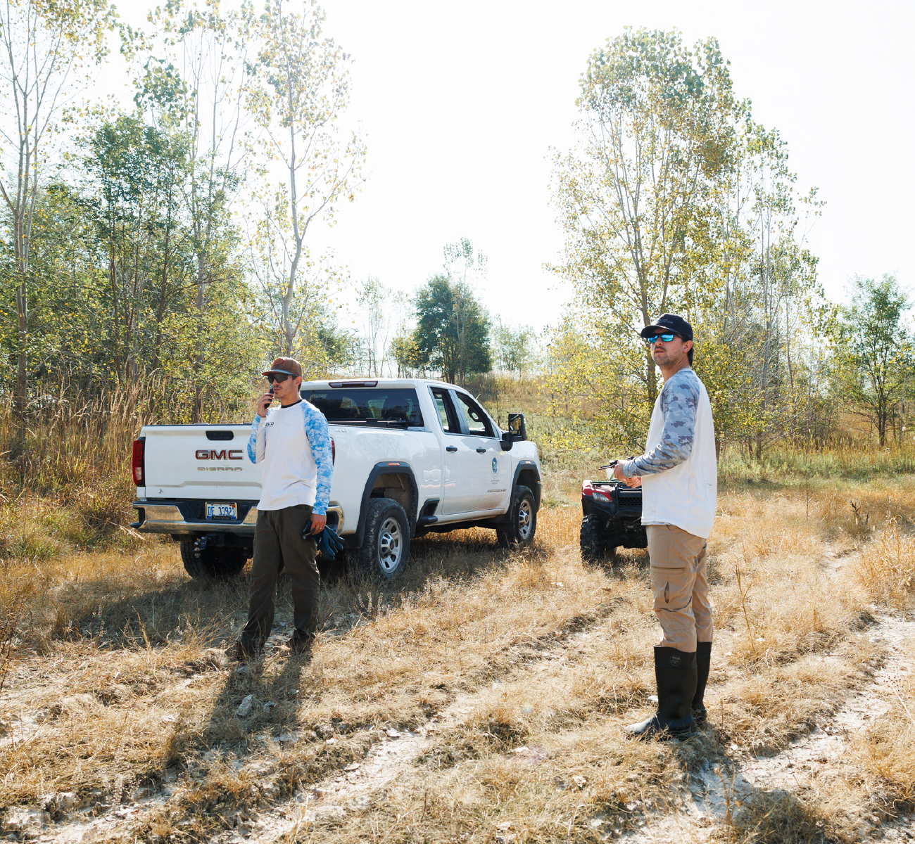
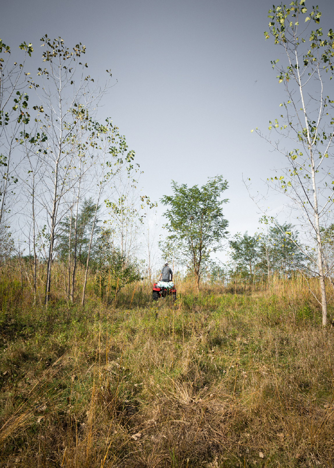
Terrestrial Vegetation Assessment & Mapping Services

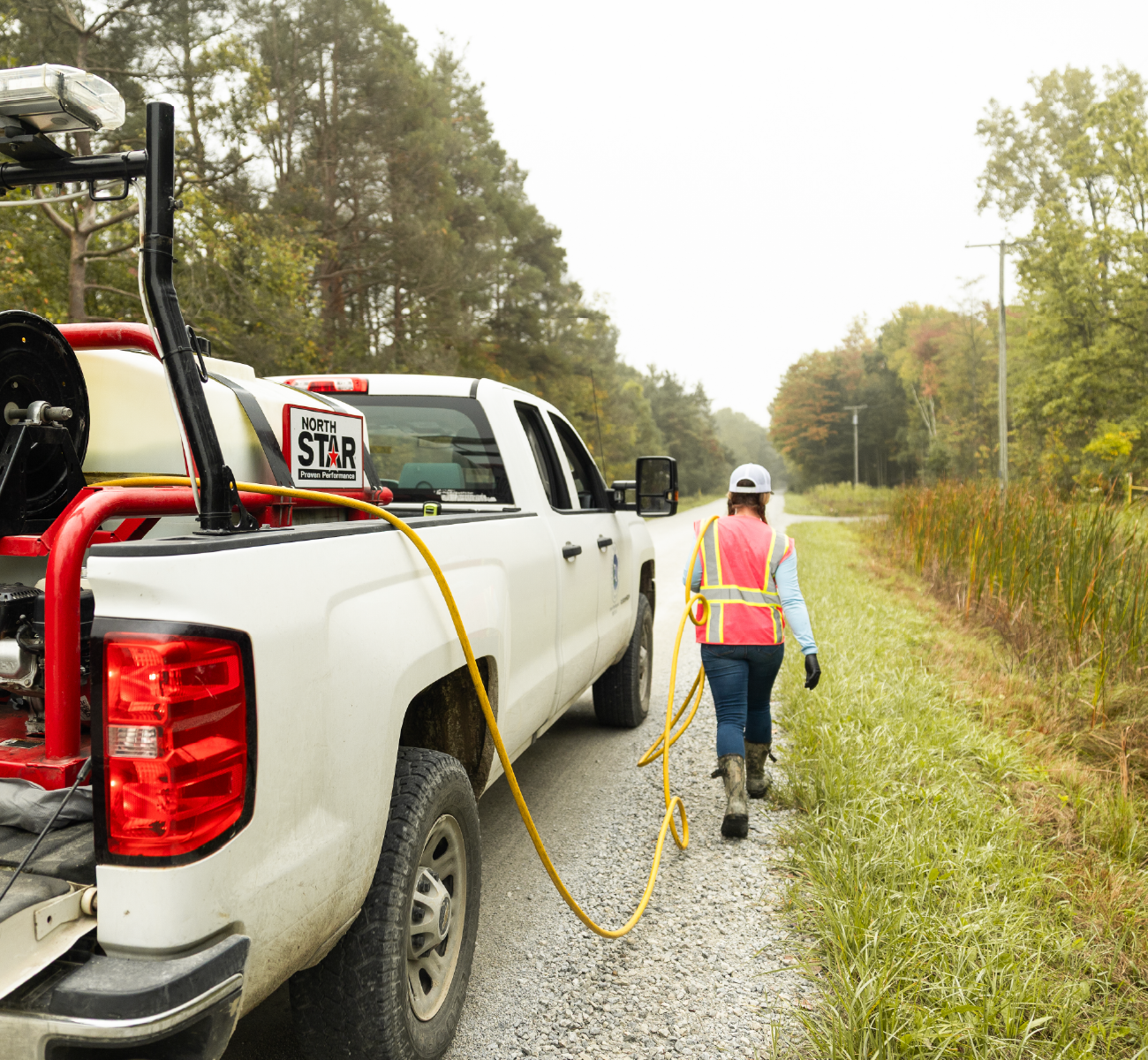
Our terrestrial vegetation assessments are designed for landowners, property managers, municipalities, utilities, and natural resource managers who need reliable data. PLM biologists and vegetation specialists conduct on-site surveys to identify plant species, map their distribution, and assess overall vegetation health. Using GPS-based mapping and field data, we create accurate vegetation maps that support land management planning, invasive species control, compliance requirements, and long-term stewardship goals.
Whether you’re dealing with invasive plants, overgrown rights-of-way, natural areas, or undeveloped land, our vegetation mapping services help you prioritize actions, control costs, and make informed decisions backed by real data.

Our Assessment Process

1. Site Review & Goals Discussion

We start by understanding your property, concerns, and goals—whether that’s invasive species control, land development planning, habitat management, or regulatory compliance.

2. On-Site Vegetation Survey

Our trained professionals conduct a detailed terrestrial vegetation survey, identifying plant species, density, coverage, and areas of concern across your site.

3. GPS Mapping & Data Collection

We use GPS and field data to map vegetation accurately, documenting invasive species locations, native plant communities, and problem areas.

4. Analysis & Management Insights

Collected data is reviewed by our experts to assess risks, trends, and priorities. We translate technical findings into clear, usable recommendations.

5. Reporting & Next Steps

You receive clear vegetation maps and a summary that supports decision-making, budgeting, and future vegetation management or invasive plant control efforts.

Markets We Serve

PLM provides vegetation assessment and mapping services for a wide range of public and private clients, including:
Federal, State and Local Municipalities
Utility Companies
Power Transmission Companies
Public Works
DOTs
Military Installations
Private Landowners
No matter the size or complexity of your property, PLM delivers consistent, professional services you can trust.
White pickup truck with PLM Lake & Land Management Corp logo and contact info on the door.

Industry-Certified Specialists

Backed by trained specialists and certified applicators who meet strict regulatory and safety standards.

Environmental Organization Members

Engaged with APMS, MAPMS, MLSA, NALMS, AERF, and other industry groups. Learn more about our memberships and certifications here.

State-Licensed Professionals

Proud members of RISE, the Better Business Bureau, and the Grand Rapids Chamber of Commerce.
Worker in safety vest walking along roadside gravel path next to a white truck with vegetation control equipment.Aerial view of three white trucks parked on sandy ground with tire tracks and scattered trees casting long shadows.
A person riding a red ATV with a tank mounted on it through tall grass while another person walks nearby in a field.Three people walking on a dirt path through a wooded area, two wearing backpack sprayers.Person wearing a black cap and glasses with a white Husqvarna backpack sprayer in a tall grassy field.

Ready to get started?

Request a vegetation assessment or talk with a PLM specialist to get started.
Contact Us

Search for something